An hour’s walk from Penarth there is an island you can walk to. Twice a day the sea opens a rocky path to it. Twice a day it takes the path back. The island is small and empty. But almost everything around it has a story: a pub with a ghost in its name, drowned ships, and smugglers with thirteen tonnes of cheese. This post is about Swanbridge, Sully Island, and the water between them.
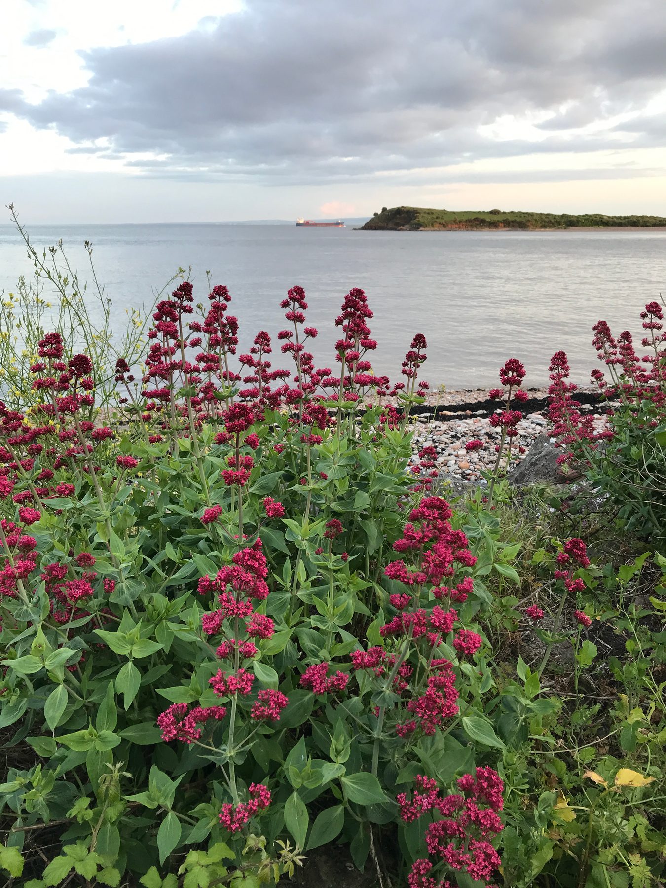
An island twice a day
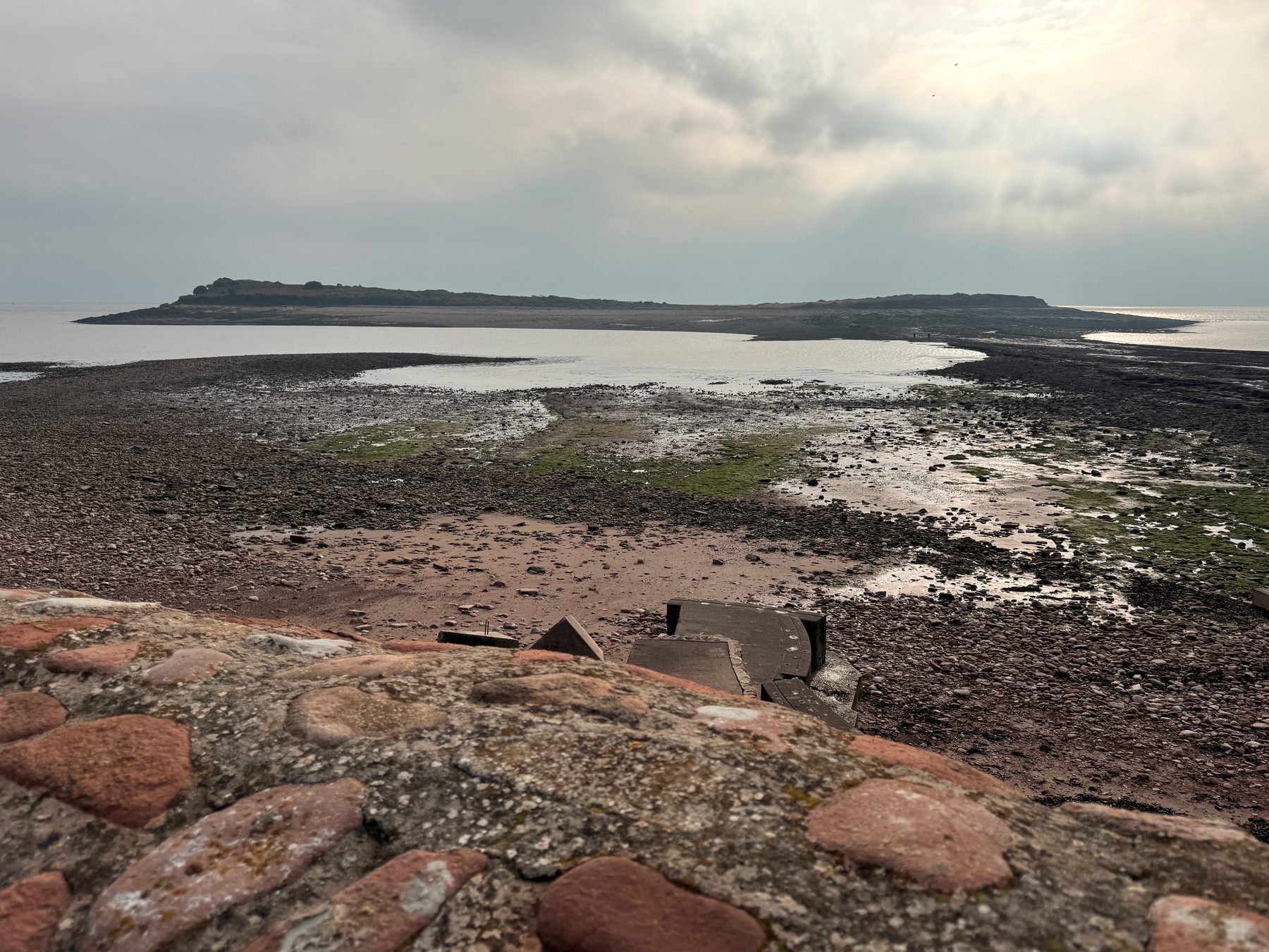
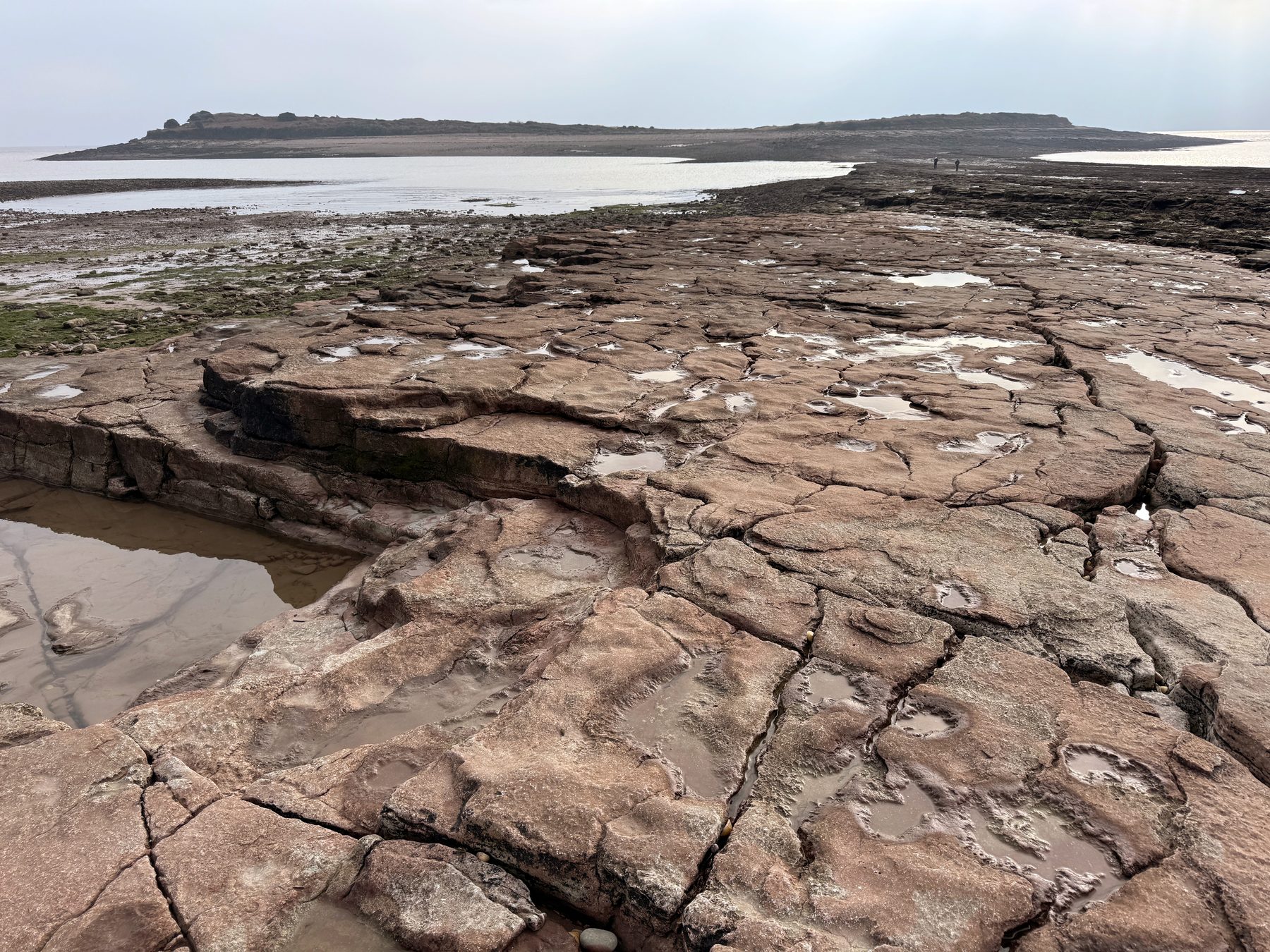
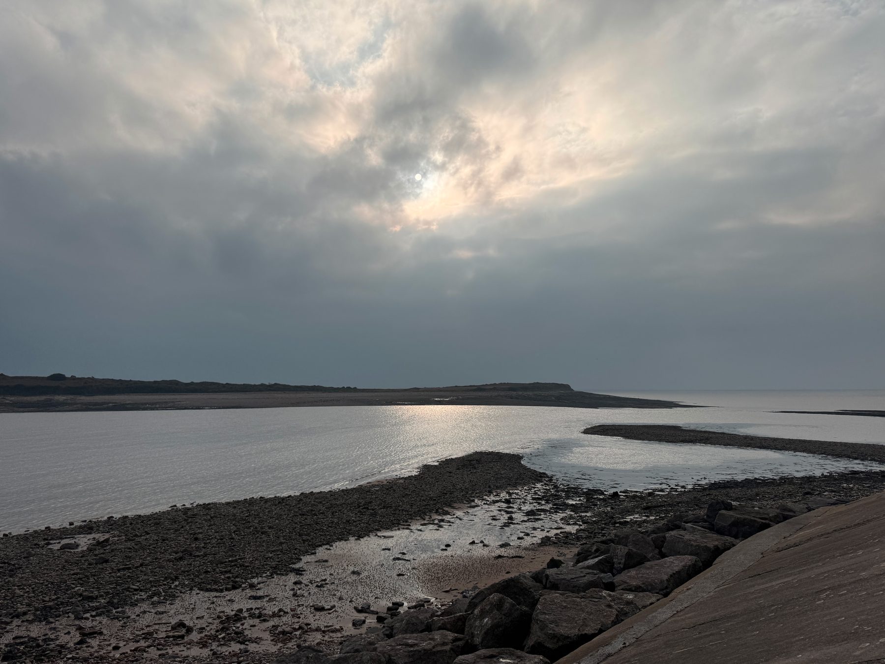
Sully Island sits about four hundred metres off the beach at Swanbridge, between Lavernock and Sully. At low tide a rocky causeway connects it to the shore. At high tide it is a real island.
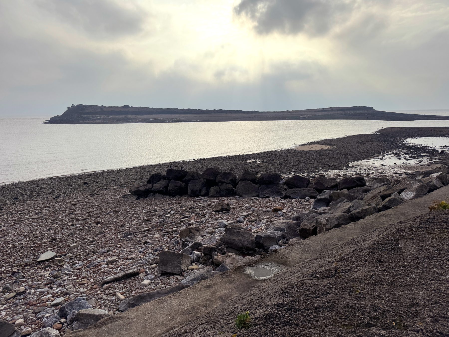
The tide here is serious. The Bristol Channel has one of the highest tidal ranges in the world; it is often said that only the Bay of Fundy in Canada beats it. Between low and high water the sea rises about thirteen metres. That is a four-storey house of water, twice a day.
The causeway is open for about three hours either side of low water. Then the sea comes back, and it comes fast: the water in the channel can run at up to seven knots, about eight miles an hour.
The traffic light
The lifeboat volunteers of the RNLI know all this very well. Every year people misjudge the tide and end up waiting on the island, or calling for help. In April 2025 eight people were rescued in five days.
So in June 2014 the causeway got a traffic light, a pilot scheme that had not been tried anywhere else in the UK. Green meant you could cross. Yellow showed a countdown: how many minutes you had left. Red meant the sea owned the road. When I went there this November, I looked for the traffic light and could not find it. Now there is a screen by the causeway, like a small monitor, that shows the current status. When I was there, it was flashing DO NOT CROSS. In 2016, after fourteen people had been rescued in a few weeks, RNLI volunteers put up warning signs on the island itself. On busy days volunteers stand by the causeway and talk to people about the tide before they cross.
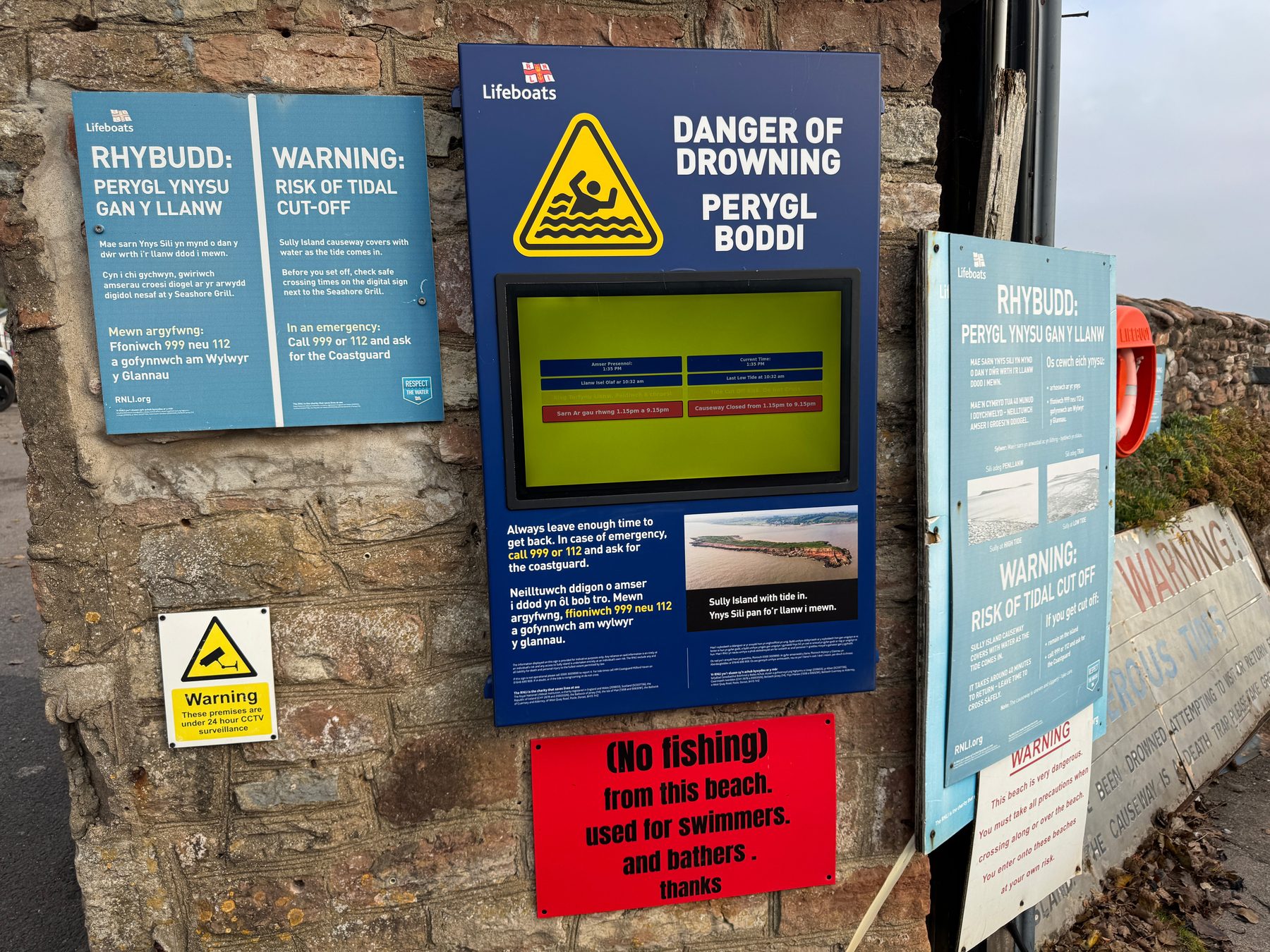
The warning signs by the causeway. The screen in the middle shows whether it is safe to cross.
On the island
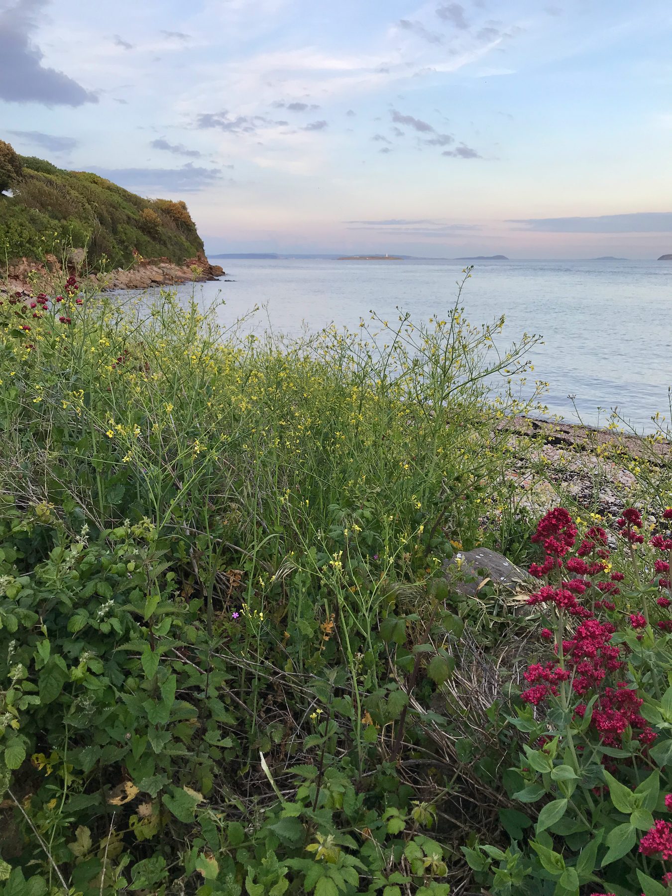
The island itself is fourteen and a half acres of grass, rock and wind. On its far end there is an old earthwork fort. Its official name is still Sully Island “Danish” Fort, and local tradition blames the Vikings. Archaeologists date the ramparts to the Iron Age, long before any Viking. Both live together fine: the name keeps the story, the ground keeps the facts.
There is also a small plaque for a fisherman called Burt Peterson. It says he fished this island for more than fifty years, man and boy. Of everything on the island, this is the thing I think about most.
The island is private, and it changed hands not long ago. In 2009 it was offered for 1.25 million pounds. Nobody bought it. In 2011 the guide price fell to 95,000, about the price of a terraced house, as the newspapers happily pointed out. The buyer paid well above that and stayed anonymous. All that is known about him: a sailor, and he promised to keep the island open to everyone. So far the promise holds.
Pirates and thirteen tonnes of cheese
Guidebooks say a Norman pirate called Alfredo de Marisco, “the Night Hawk”, used the island as his base in the thirteenth century. I looked for him while writing this and found nothing in the records — only a real pirate family, the de Mariscos, who worked from Lundy Island further down the Channel. So the Night Hawk is a legend. Probably somebody else’s story that moved here and stayed.
The smuggling is not a legend. In 1569 officials seized a cargo landed quietly at Swanbridge: twenty-eight thousand pounds of cheese and eighty barrels of butter. Thirteen tonnes of contraband cheese. In 1658 the same bay was used to land people the papers of the time called “undesirables”. There is also a story about a smugglers’ tunnel from the shore up to Sully House. Nobody has ever found it. People keep telling it anyway.
The ship without a name
On the north shore of the island lies the skeleton of a wooden ship. It shows on aerial photos from the early 1950s at least. Nobody knows which ship it is. The Royal Commission measured the bones, about fourteen and a half metres of them, and offered candidates: a ketch called Friendship, stranded with coal in 1902; a smack called Robert, stranded with stone in 1882; Eliza, a barge from the sand and gravel trade. Or a pilot cutter.
Pilot cutters need one word of explanation. A pilot is a sailor who knows the local water and boards big ships to guide them safely into port. In the age of sail, Bristol Channel pilots raced each other out to the incoming ships in small fast boats — the cutters. It was a risky trade. From 1882 the Cardiff pilots had permission to shelter their boats behind Sully Island in an east wind. Some never left: the LOTTIE stranded here in 1886. The BARATANACH, an old pilot cutter that by then carried cargo along the coast, sank at her moorings north of the island in 1916.
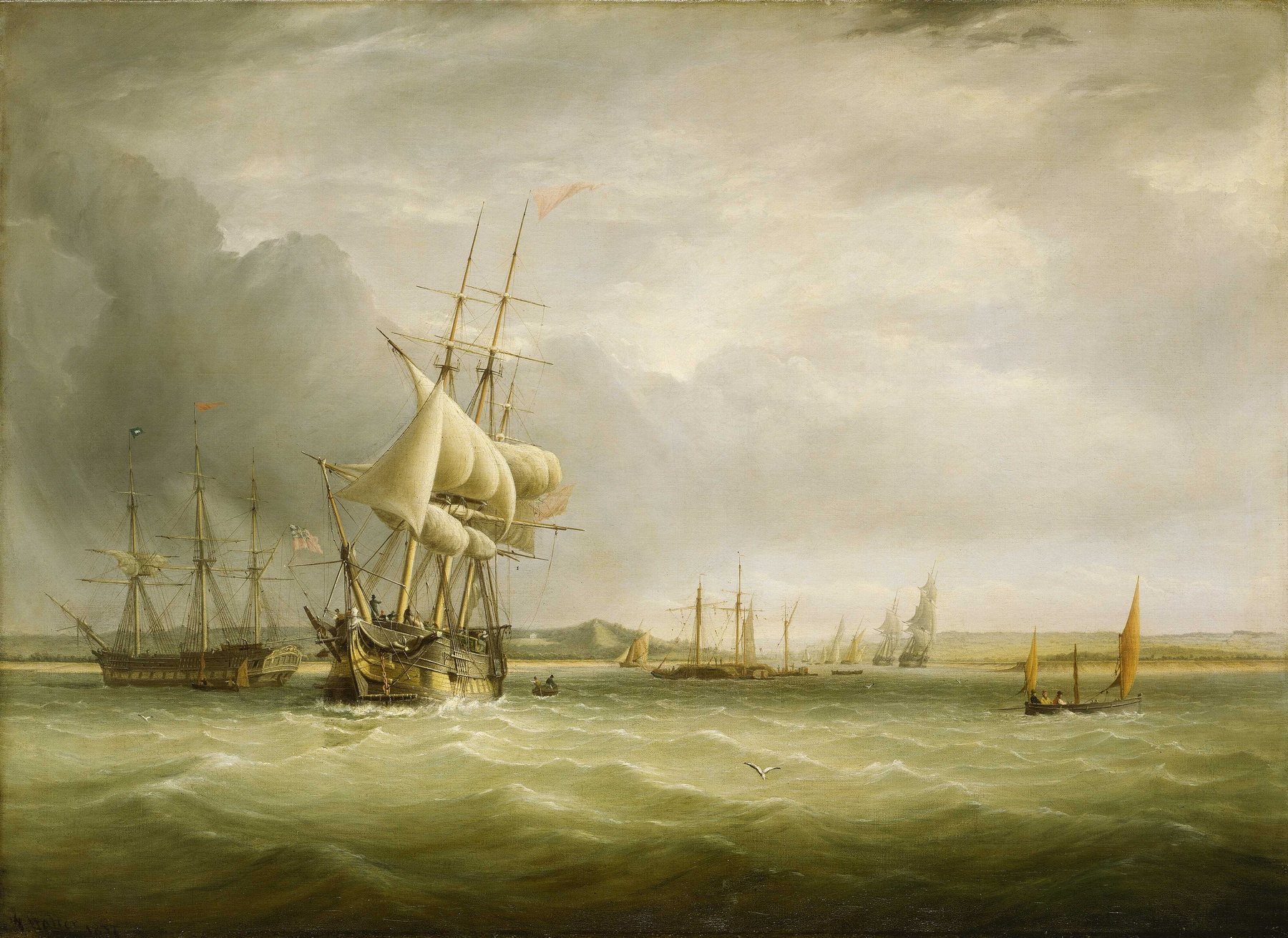
Joseph Walter, Shipping in the Bristol Channel, 1837: merchant sailing ships leaving the mouth of the Avon near Bristol. According to the museum, the small sailing boat on the far right is probably a pilot boat. National Maritime Museum, Greenwich, via Wikimedia Commons, public domain.

One famous ship died within sight of this beach. The Scotia carried a Scottish expedition to the Antarctic in 1902–04; the Scotia Sea on the world map is named after her. Her end was ordinary. In January 1916 she was carrying flour from Avonmouth for the French government when fire broke out in her hold off Barry. She was beached in Sully Bay and burned out. A week later the Barry Dock News wrote that few people realised a famous ship had gone to her doom off Sully. Local memory adds that children came with sacks for weeks to collect coal from the beach. The skeleton on the shore is not her: the Scotia was far longer. So the wreck keeps its secret.
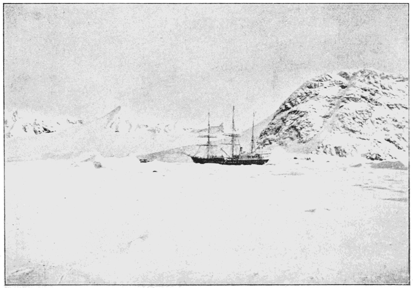
The Scotia frozen into the ice of Scotia Bay, South Orkney Islands, in 1903, during the Scottish National Antarctic Expedition. Published in Popular Science Monthly, 1904, via Wikimedia Commons, public domain.

Swanbridge before the pub
Swanbridge today is a pub, a car park and a caravan park. For centuries it was a small working harbour. Ships traded here from the 1500s; in the 1600s and 1700s they carried cheese, butter, wool and livestock. Sea holly from this beach went to Bristol as a medicine. Iron mooring rings could still be seen in the rocks in the early 1970s.
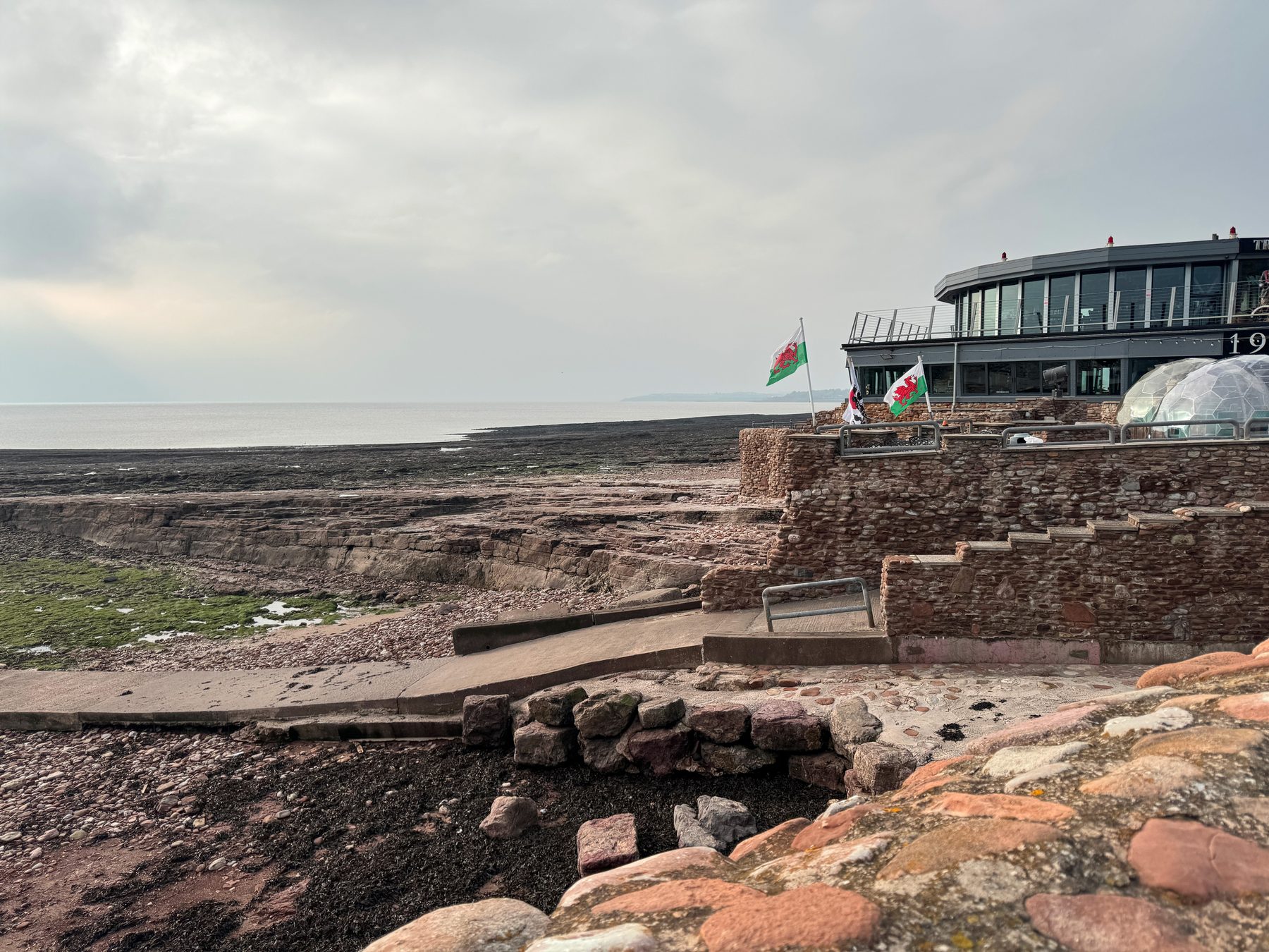
Two details surprised me most. The Bute estate kept a five-acre vineyard at Swanbridge until 1920, and the grapes went to the gardens of Cardiff Castle. And Swanbridge had its own railway station: opened in 1888 for day-trippers, closed in 1968. For eighty years people came to this beach by train, and for nearly a hundred years a cafe by the car park sold ice cream, until it was pulled down around 1970. The trains are gone. Part of the old line, between Lavernock and Penarth, is now a cycle path.
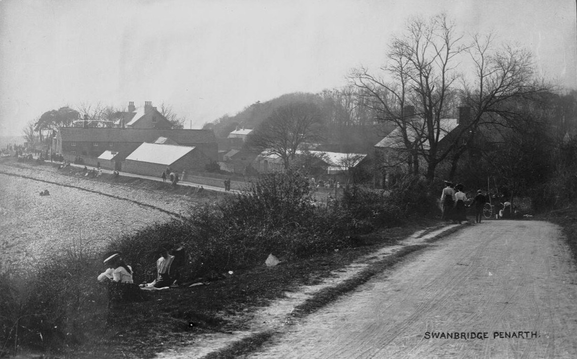
Swanbridge around 1905, from an old postcard: the road down to the beach, a row of houses above the shore and people out for a walk. Martin Ridley Collection, National Library of Wales, public domain.
The Captain’s Wife
The pub on the foreshore is called The Captain’s Wife. The name sounds three hundred years old. The pub is younger than it looks: it opened in 1977, made from a row of three old houses by the sea. Next to it stood the old Sully House, pulled down in 1900.
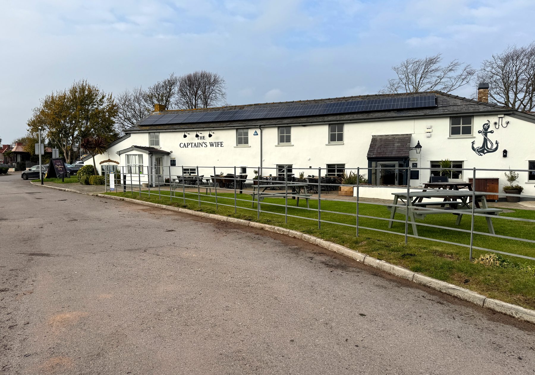
The legend behind the name exists in several versions, and they do not agree. In the main one, a captain’s wife died at sea. A body on board meant bad luck, so the captain hid her ashore in a wooden box, planning a quiet burial. The box was mistaken for treasure and stolen. Her ghost is said to appear as a dark shadow. In another version, remains were found bricked up in a chimney. In a third there is a Colonel Rhys, his wife, a young sailor, a duel and a drowning.
I wanted to know how old the story really is, and at first I could not find anything older than the pub. Then I searched the old Welsh newspapers, and the story turned out to be much older.
In November 1900 workmen repairing the drains at Sully House found a skeleton four feet down, under mud and sand. The Evening Express wrote that it was a young woman, buried a great many years before, and added: “There is a legend that a captain buried his wife out of a passing ship, having smuggled her corpse home unawares to his crew.” So the captain’s wife was already a legend 77 years before the pub took her name.
The Colonel Rhys version is in print too. It comes from “A Legend of Old Sully House”, a story by Thomas Edward Heath, one of the pioneers of the Welsh coal trade, who died in the early 1880s. His son published it in a book in 1906. A Bristol merchant’s daughter loves a daring captain, Henry Winstanley, but her father marries her to Colonel Rhys. The lovers meet in secret on the lonely shore, the colonel catches them, and Winstanley kills him in a duel. The dying colonel curses them both. Years later their ship burns off Sully, and the crew swear they saw a third figure on the deck. The Cardiff Times wrote that this story “has often been told locally, but never so well”. And the owner of the house told the paper that when Sully House was pulled down in 1900, his men found a skeleton in the shrubbery, at the very spot named in the story. A man’s skeleton, by his account.
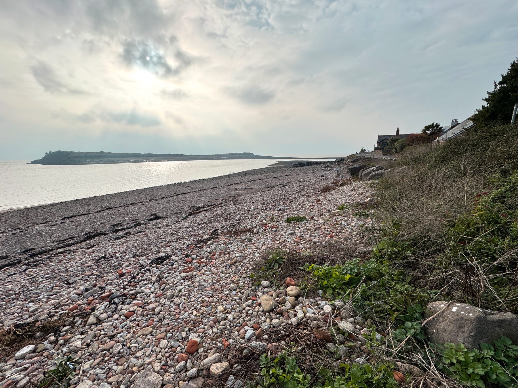
So the same bones were a young woman in 1900 and a man in 1906, and the legend had two branches long before the pub chose one of them. You can watch a legend grow in the old newspapers. I like that more than any ghost.
One more small story, modern this time. In 2019 the pub blocked up its old dovecote to keep droppings off the outdoor tables. Bird lovers protested online and outside the pub, and the next day the pub apologised and opened it again. The doves won.
Drawing here
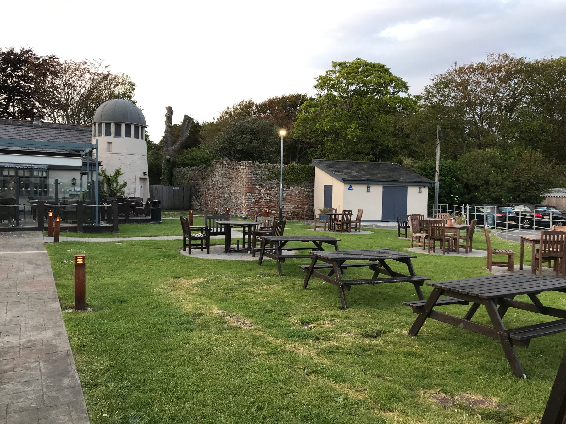
Swanbridge gives you long horizontal lines: the island low on the water, the causeway, the roofs of the pub against the sea. The scene changes completely twice a day, so the same view is never the same drawing.
Practical notes
Swanbridge is about an hour on foot from Penarth. The nicest way is the coast path over the cliffs — I wrote about its first half in the Penarth Clifftop Walk to Lavernock; from Lavernock the path continues down to Swanbridge. Part of the way can also be done on the flat cycle path along the old railway line. The Captain’s Wife has a big car park, and the tide tables are posted right there. If you cross to the island, check the screen by the causeway first: it shows whether it is safe to cross.
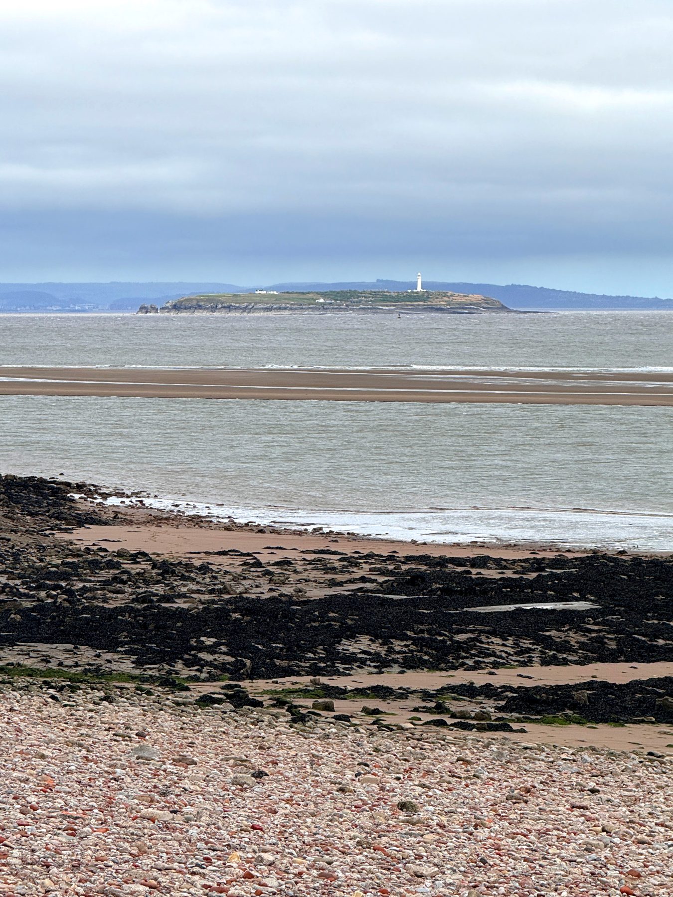
Everything from what I bring to an outdoor sketching meetup applies here, plus wind from the open Channel. More of my favourite places nearby: Cosmeston Lakes and the medieval village, and the full list of best places to sketch in Penarth.