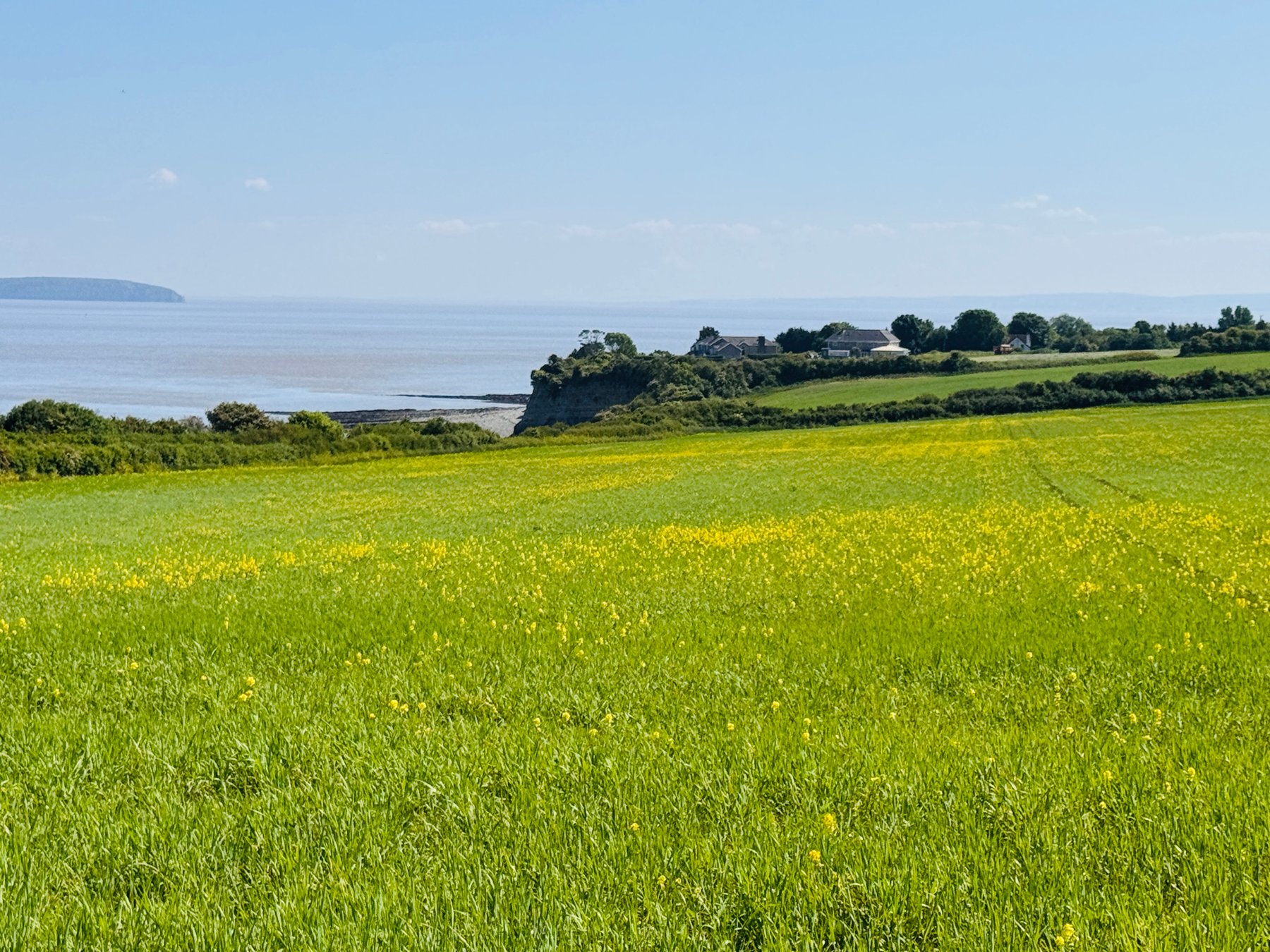
Most of my walks stay inside Penarth: the Esplanade and the pier, Alexandra Park, the Italian Gardens. The Penarth to Lavernock walk is what happens when you let the same walk keep going. The promenade ends, the town thins out behind you, and for the next couple of miles it is just the cliff top, the fields, the Bristol Channel, and a path that has been walked for a very long time.
It is an easy walk to underestimate. On the map it is a short stretch of the Wales Coast Path, about two miles each way. In practice it holds a surprising amount: sea views the whole way, two islands on the horizon, cliffs full of fossils, a wartime gun battery slowly going back to nature, a nature reserve full of orchids and butterflies, a tiny closed church, and the exact place where radio first proved it could work.
The Penarth Clifftop Walk
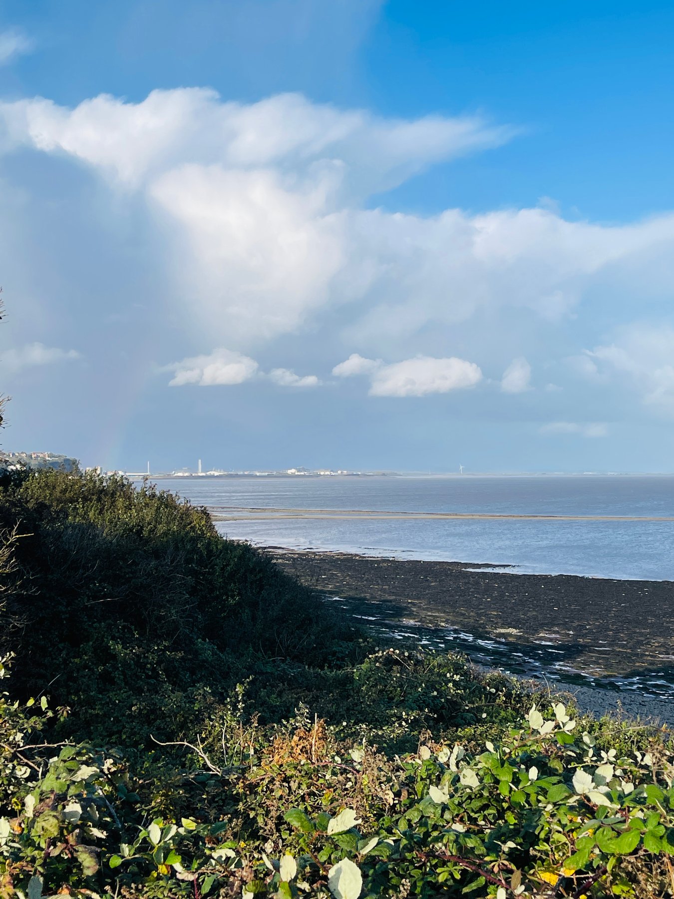
The walk starts wherever your Penarth walk was already happening. From the seafront, carry on past the Italian Gardens and up the zigzag path to the cliff top, or come along Cliff Parade past the higher green. Either way you join the Penarth Clifftop Walk, which is also the official route of the Wales Coast Path here, so you can simply follow the waymarks south.
The path runs between the sea and the fields: hedges and grassland on one side, and on the other the long drop to the shore, mostly behind vegetation, occasionally opening out completely. It is level, unhurried walking. After rain the ground turns soft, and I would not do it in white trainers, but nothing about it is difficult. You go through a couple of kissing gates, past benches placed exactly where you would want them, and the town noise is replaced by wind, gulls and the odd container ship working up the channel.
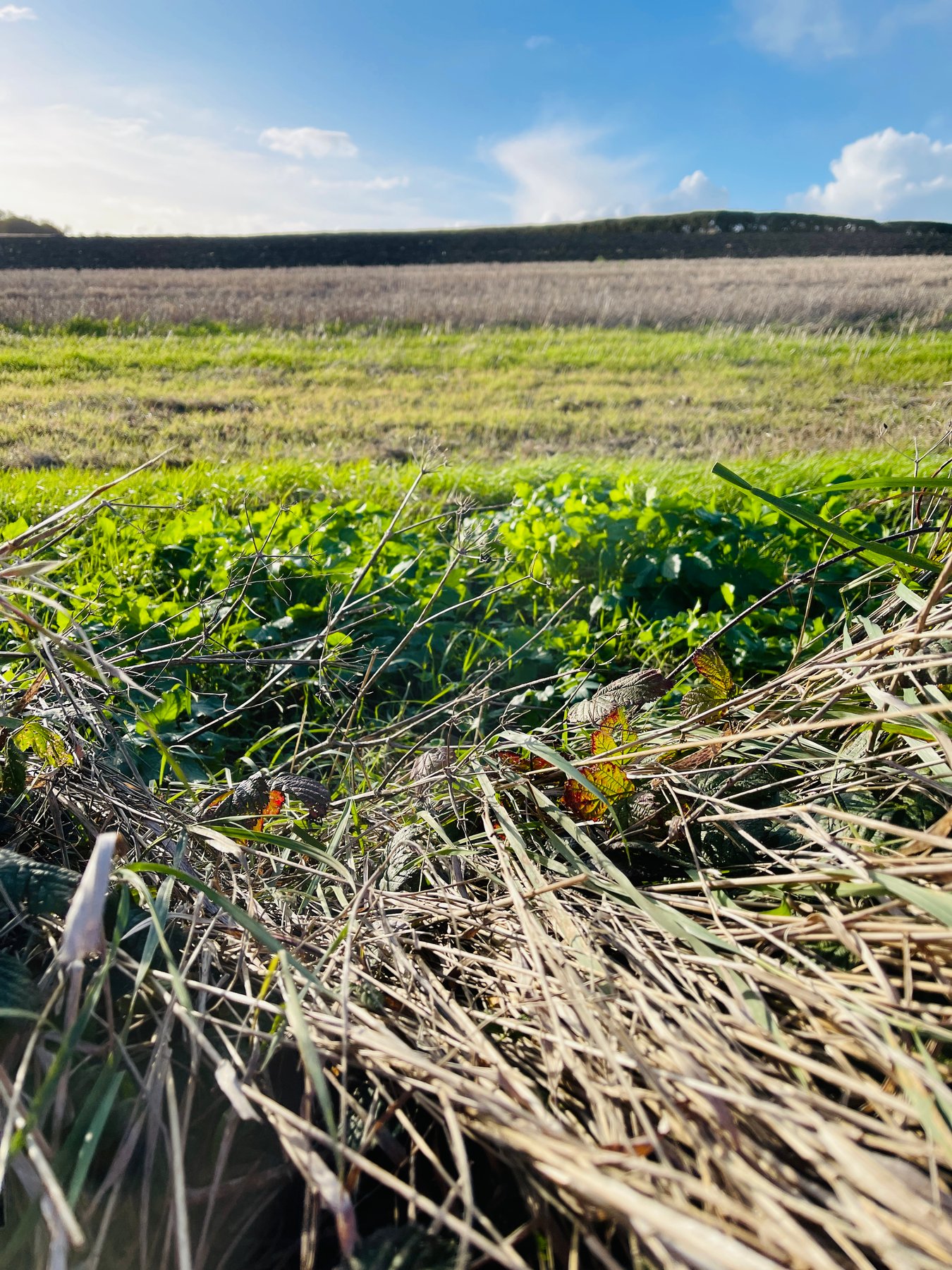
Looking back is half the point of this walk. From the first stretch of cliff top you see Penarth from outside: the pier reduced to a thin line, the Victorian roofs stacked on the hill, and on clear days Cardiff Bay and even the hills behind the city. It is the view that explains the town better than any street inside it does.
Flat Holm, Steep Holm and the sea
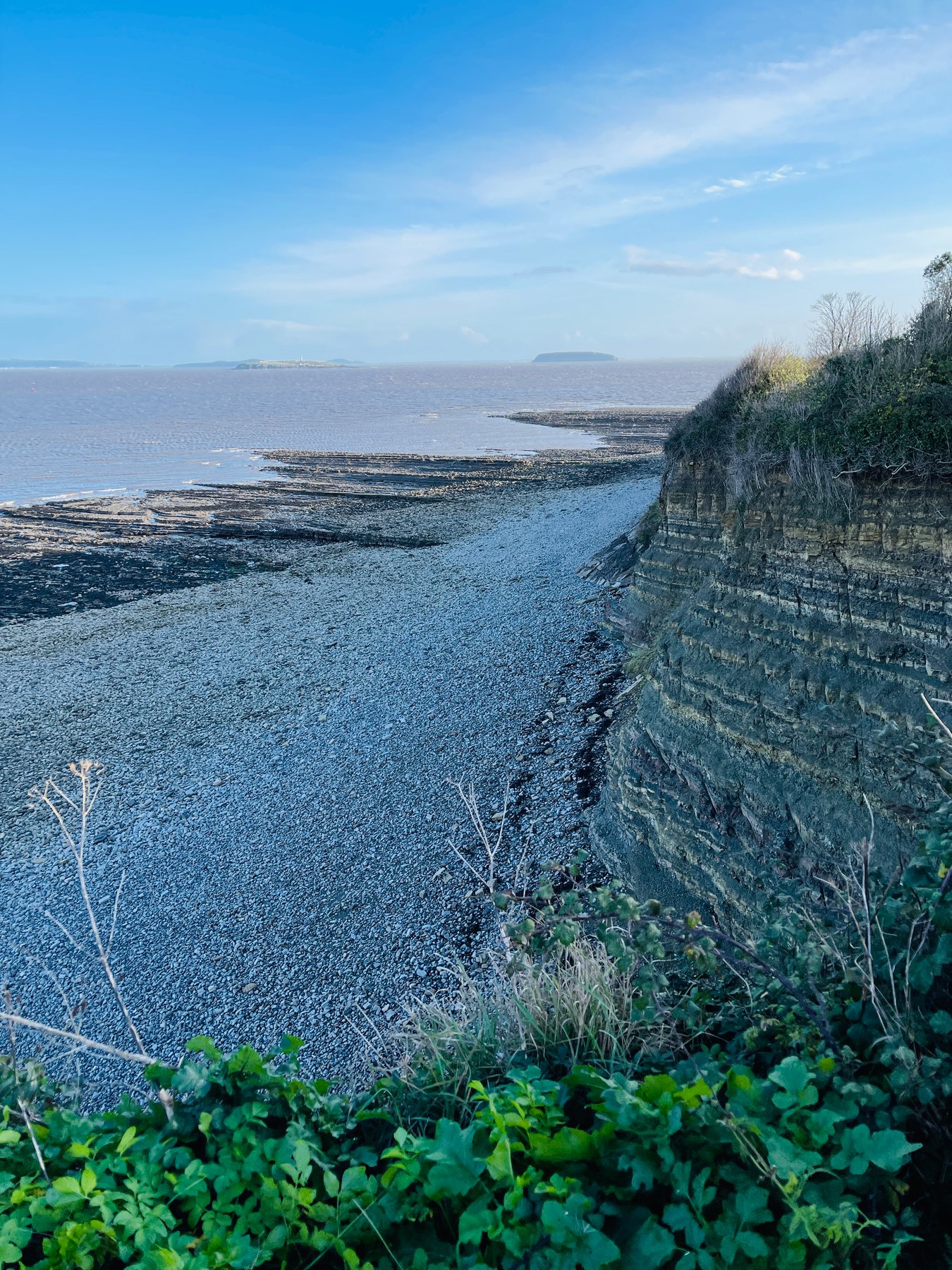
For the whole walk, the two islands keep you company: Flat Holm, low and Welsh, with its lighthouse, and Steep Holm behind it, higher, darker and already in England. I wrote a little about both in the Esplanade post, but from the cliff top between Penarth and Lavernock they feel much closer than they do from the pier. The water between here and the islands is not just a backdrop: this is one of the biggest tidal ranges in the world, and the currents off Lavernock Point run hard enough that the sea often looks striped, with slicks and rough bands drawn across it like pencil hatching.
This stretch of water is exactly what made Lavernock famous, but I will save that story for the church.
Cliffs with a dinosaur in them
The cliffs along this walk are famous in another, much older way. The grey and yellow layers between Penarth and Lavernock Point record the end of the Triassic and the very beginning of the Jurassic, around 200 million years ago, when this coast was a warm shallow sea. Geologists know the rocks here so well that a whole slice of British geology is named after the town: the Penarth Group, described in papers like this lithostratigraphy of the Penarth Group. The point itself is a Site of Special Scientific Interest, and Lavernock is a well-known fossil beach.
In 2014, after a cliff fall near Lavernock Point, two fossil-hunting brothers found the scattered skeleton of a small, sharp-toothed dinosaur. It turned out to be one of the oldest Jurassic dinosaurs ever found anywhere, and the first meat-eating dinosaur skeleton from Wales. It was named Dracoraptor hanigani in 2016: “dragon robber”, for the Welsh flag, plus the surname of the brothers who found it. The bones are now in the National Museum in Cardiff. A few years earlier the same rocks produced part of a giant ichthyosaur, a sea reptile the size of a small boat.
Ten years later, in the summer of 2024, ten-year-old Tegan was walking here with her mother when she spotted a sequence of five enormous footprints in the red siltstone at Lavernock Point. The prints were up to 75 centimetres apart and appeared to show a consistent left-right stride. A palaeontology curator at National Museum Wales believed they were genuine tracks made more than 200 million years ago by a large herbivorous sauropodomorph, possibly Camelotia, although formal verification was still under way when the discovery was reported by the BBC.
I like knowing this while walking above the cliffs. The view feels different once you know that the neat grey layers under your feet are full of sea monsters.
The same erosion that keeps producing fossils also means the cliffs shed rock without much warning, so on the beach I stay away from the cliff base and keep one eye on the tide. The water here comes back fast and does not negotiate.
St Lawrence’s Church, Lavernock
At Lavernock the path arrives at a small cluster of buildings, and the one that matters is the little church of St Lawrence, sitting behind its wall with the churchyard around it. It is a genuinely small church, medieval in origin, and it has the particular stillness of buildings that are no longer needed daily. Regular services ended years ago, and it is now looked after by volunteers, opening only occasionally.
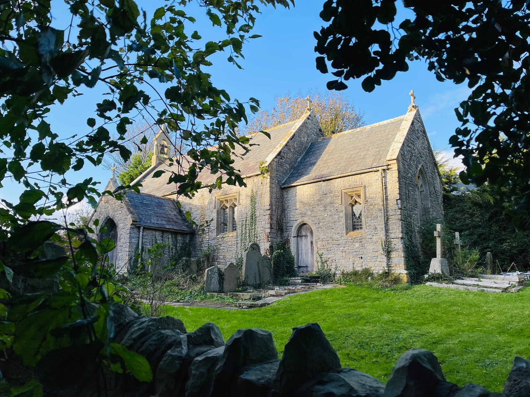
Small closed churches can feel melancholy, but this one carries the most surprising plaque in the area. On the wall facing the lane is a bronze tablet, and it says, in effect: near this spot, the first wireless signal across open water passed between Guglielmo Marconi and George Kemp.
Marconi at Lavernock, May 1897
The story deserves to be told slowly, because it is a very good story.
In May 1897, Marconi was twenty-two, ambitious, and in need of a convincing public demonstration that his “wireless telegraphy” could do something cables could not. William Preece, the Welsh chief engineer of the Post Office, arranged trials across the water between Lavernock Point and Flat Holm, with George Kemp, a Cardiff Post Office engineer, as Marconi’s assistant. A tall pole went up at Lavernock with a zinc cylinder at the top; the far station sat on the island, a little over three miles away across open sea.
The first attempts failed. Accounts differ a little on the exact days, as they always do — the plaque and some retellings favour 11 May, most histories settle on 13 May 1897 — but the detail everyone agrees on is the fix: the aerial wire was extended down the cliff towards the beach, the extra length changed everything, and the Morse signals suddenly came through clearly. The message tapped out across the water was wonderfully ordinary: “ARE YOU READY”. The paper slip with those dots and dashes survives in the National Museum of Wales. Within days the signals were reaching Brean Down on the English side, roughly trebling the distance, and within a few years wireless had crossed the Atlantic.
There is something very fitting about the world’s first radio message over open sea being, essentially, a sound check. You can read fuller versions of the story at History Points, Visit the Vale and this detailed visit to St Lawrence church and the Marconi site.
Standing by the church wall, the geography of the experiment is all still there: the point, the drop to the beach, Flat Holm sitting exactly where it sat in 1897. It is one of the few places I know where the view has not changed at all, and still you know the exact week it became history.
Lavernock Battery
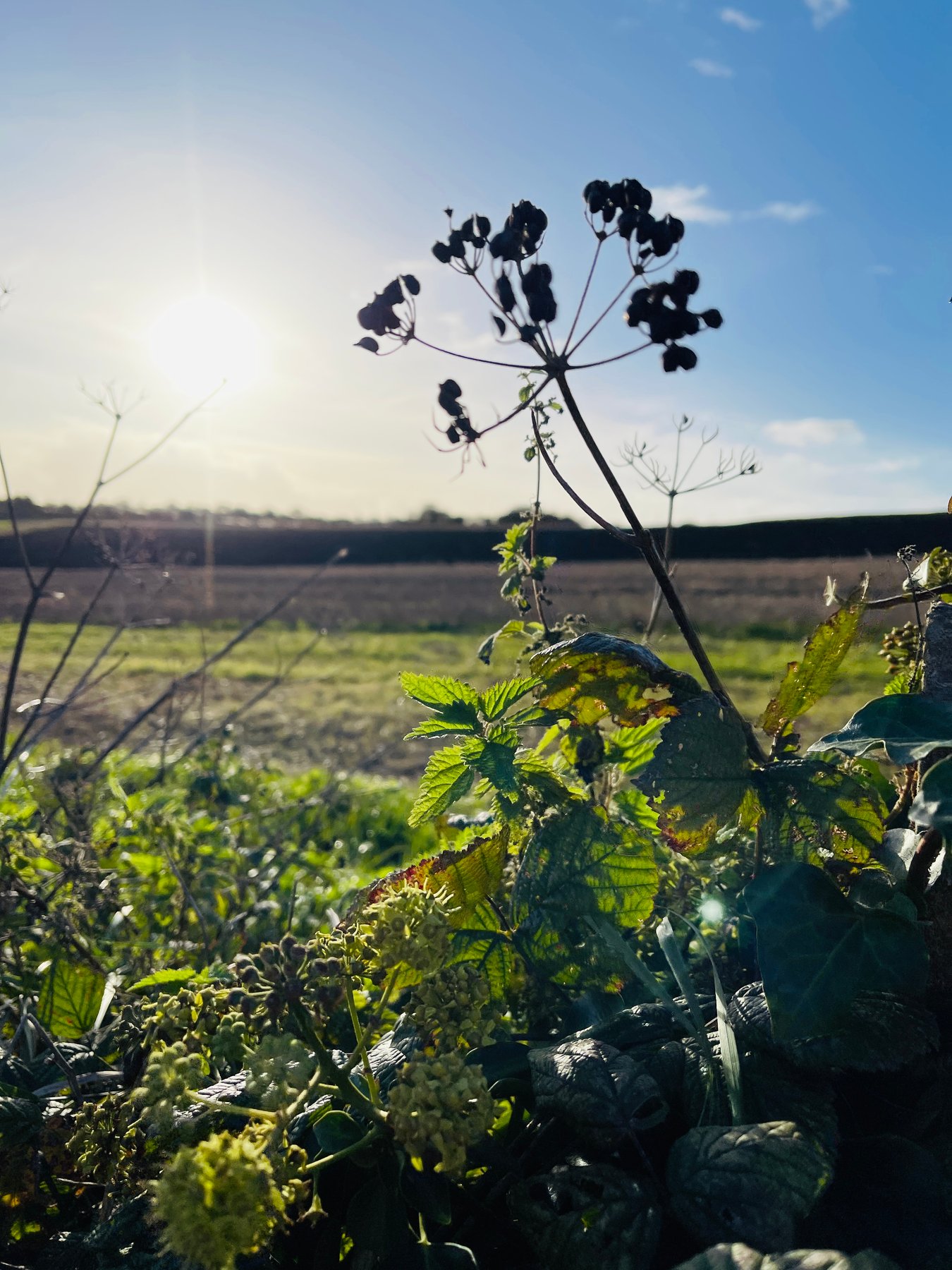
A field away from the church, half-swallowed by scrub, are the remains of Lavernock Battery. The guns came long before the radio: a Victorian battery was finished here in 1870, one of the Palmerston-era forts built to guard the approaches to Cardiff and Bristol, and it was rearmed and reused right through to the Second World War, when a heavy anti-aircraft battery was built on the site to defend the Cardiff approaches. The concrete gun emplacements and command post from that war are still there, quietly listed as a scheduled monument, while the Victorian battery’s history survives mostly in documents.
Brambles and blackthorn are doing what brambles and blackthorn do, and the emplacements now read as strange geometric clearings in the green. As a subject to draw they are excellent: hard shadows, curved concrete, and the brambles slowly winning.
The nature reserve
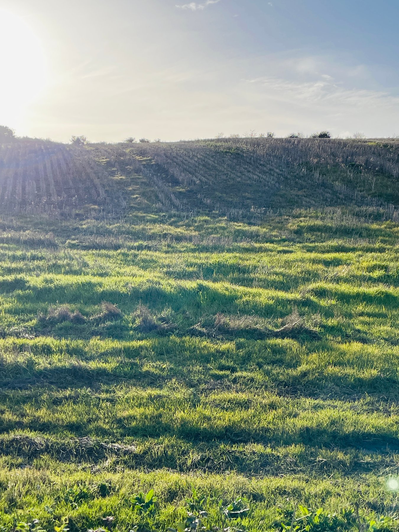
The land around the point is Lavernock Point nature reserve, looked after by the Wildlife Trust of South and West Wales: eight hectares of old meadows and scrub on the limestone, with an old hayfield that was last cut in 1984 and has been finding its own way since. In early summer the meadows have cowslips and several kinds of orchid; later it is knapweed, scabious and clouds of butterflies — the Trust lists ringlets, gatekeepers, meadow browns and the six-spot burnet moth, which looks like a small piece of enamel jewellery that has learned to fly.
This is where I stop being efficient. The walk has no further destination after this; the point is the point.
Sketching notes
Drawing here feels different from drawing in town. In Penarth the subjects are objects: the pier, a bandstand, a church between trees. Out here almost everything is a horizontal line — sea, horizon, cliff edge, field — and my drawings end up being about distances and tone rather than things. At first I kept trying to fit the whole coast into a composition; these days I am happier with a soft pencil, three values, and the stripe of the tide doing something odd near the point.
The subjects I keep coming back to: the islands (they change colour all day), the layered cliff faces seen from the beach at low tide, the church behind its wall, and the battery’s concrete geometry. Wind is the main practical difficulty — there is much less shelter than on the Esplanade, so I bring clips for the sketchbook pages and one more layer than seems reasonable in town. Everything from what I bring to an outdoor sketching meetup applies doubly up here.
Practical notes
The walk is about two miles each way from the southern end of Penarth seafront, on a clear waymarked path with gates and a few gentle rises. It takes me somewhere between forty minutes and an hour each way at a walking pace, and much longer with a sketchbook. The official Wales Coast Path information lists refreshments and toilets at the Marconi Inn in Lavernock Point Holiday Village. Buses on Fort Road near Lavernock run back towards Penarth if the weather or the light gives out — I check the times before relying on them. After wet weather there is mud; in summer the meadows are worth the trip on their own.
And if you have not yet done the town end of this coastline, the same walk continues naturally from the Esplanade and the pier — or see the full list of my favourite spots in best places to sketch in Penarth.